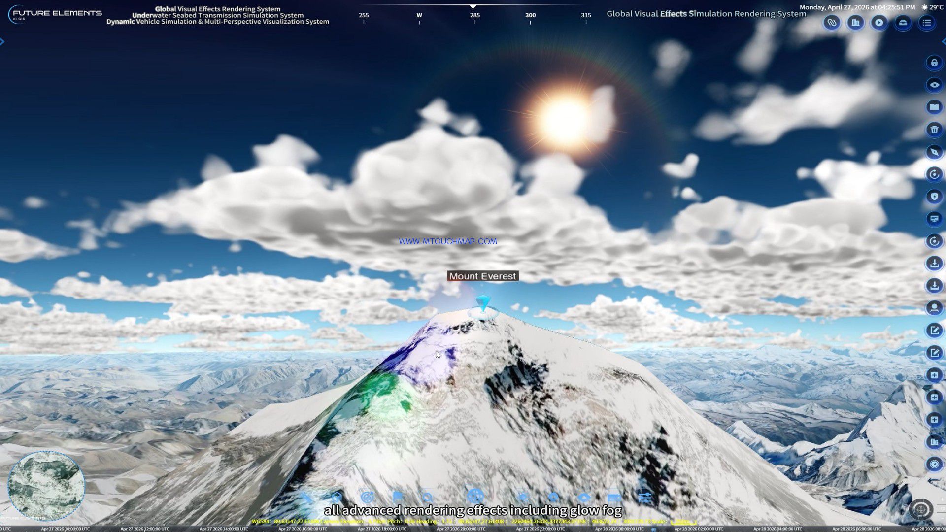
3D Fire Source and Fire Scene Combustion Spread Simulation System
See the fire before it strikes – 3D real-time spread simulation
Visualize. Analyze. Prevent. – 3D fire spread intelligence
3D Fire Source and Fire Scene Combustion Spread Simulation System
– Military-Grade Precision, All-Scenario Versatility
Our system employs a military-grade combustion physics algorithm that overcomes empirical limitations and reconstructs fire spread in complex environments – from battlefields to forests, cities, and industrial sites. Powered by the FUTURE 3DGIS engine, it integrates real terrain, weather data, and physics models for high-fidelity simulation from ignition to smoke dispersion.
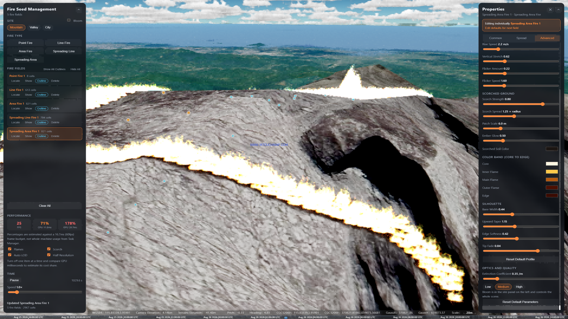
It natively supports five fire types, covering all stages of fire evolution:
- Point fire (point-source ignition)
- Line fire (linear fire source)
- Area fire (regional fire source)
- Spreading line fire (linear spread process)
- Spreading area fire (areal spread process)
These models can be flexibly combined to simulate any scenario from initial ignition to large-scale spread, supporting tactical deployment, resource allocation, and emergency response.
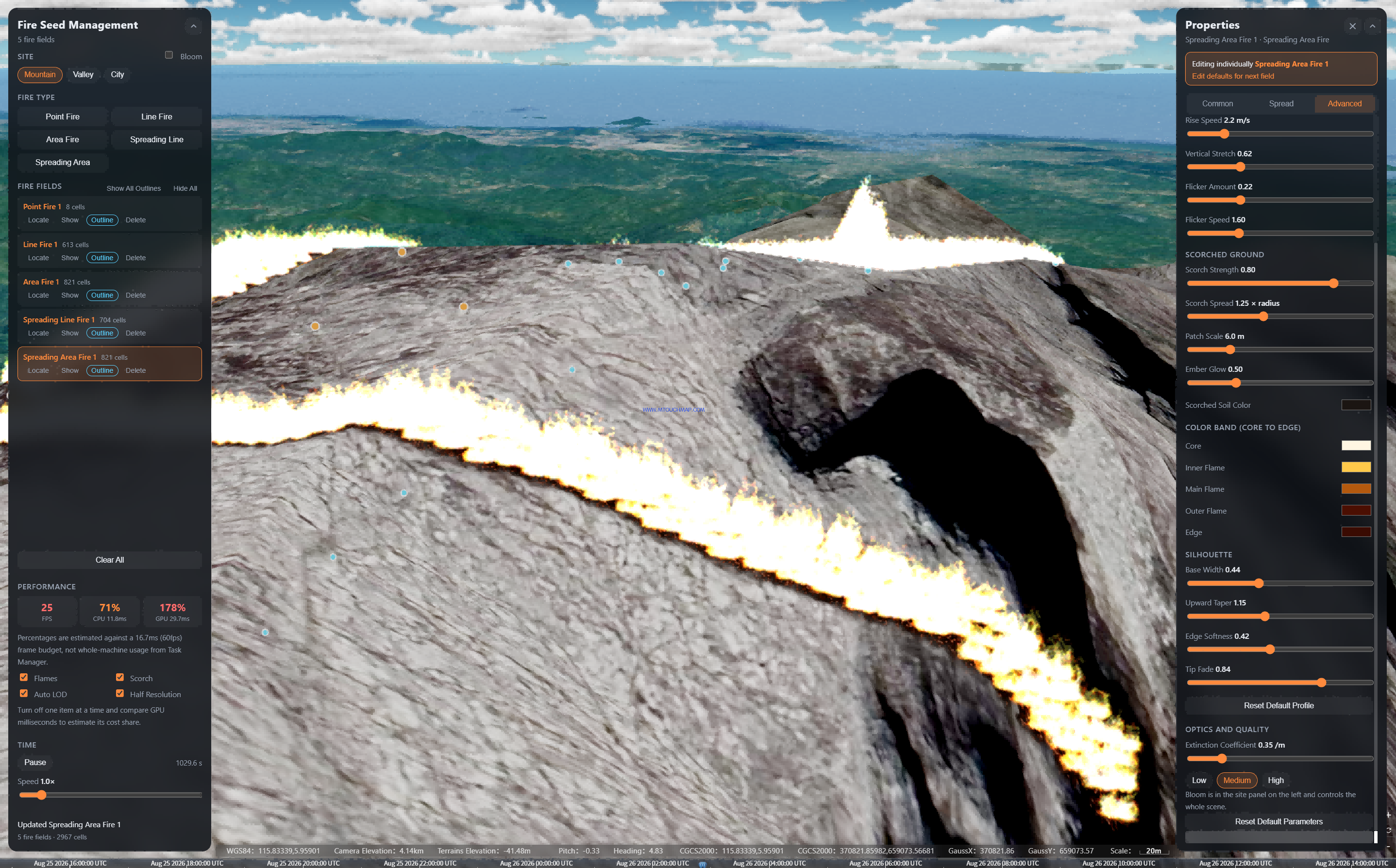
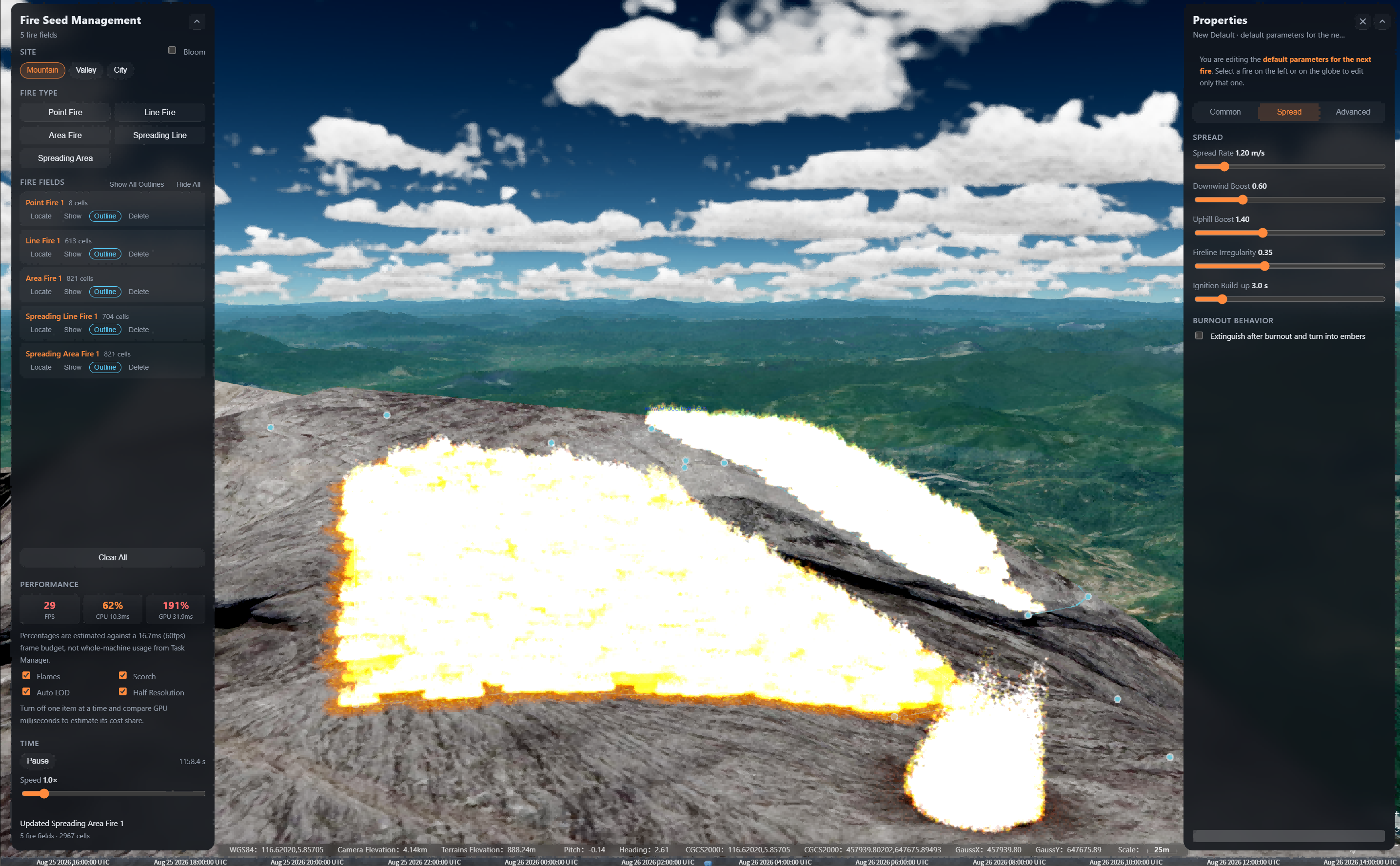
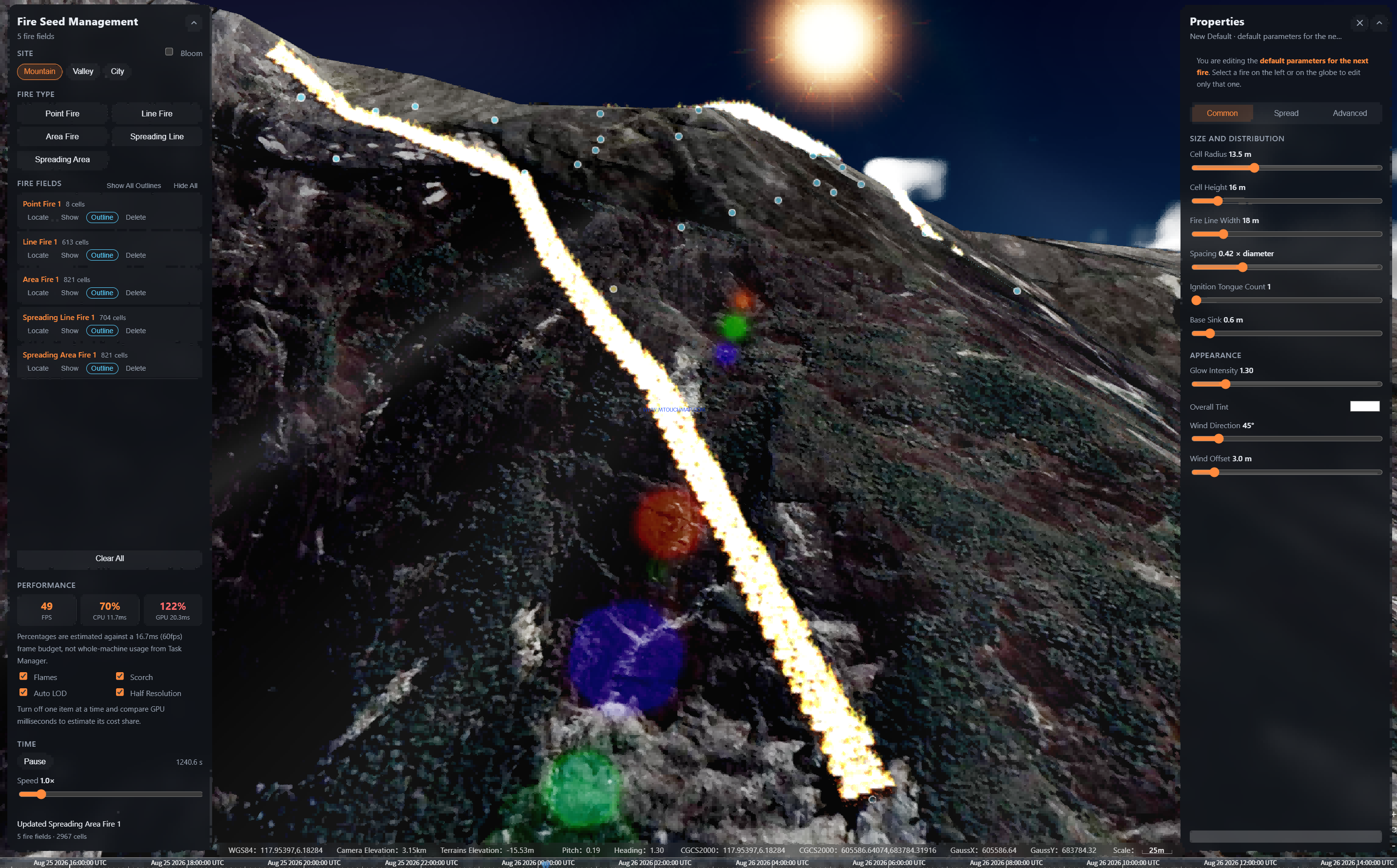
The system offers comprehensive fire-type management with full operational control: add, locate, hide, edit parameters, set boundary, delete, show/hide all, and clear all with one click. A built-in time multiplier lets you adjust the spread rate dynamically, while a real-time performance panel continuously monitors FPS, CPU, GPU, and memory usage to ensure optimal system responsiveness.
For fine-tuning fire behavior, the system provides an extensive set of customizable flame and smoke properties. You can adjust flame dimensions (diameter in meters, speed proportional to height, flame height, and transparency), as well as appearance parameters such as outer flame color, burning color, and core color. Smoke parameters include upward speed (m/s), lateral initial speed, smoke size, smoke velocity, transparency, and a density curve for realistic plume evolution. All color settings – including core, outer flame, inner flame, and RGB top-color – are fully adjustable with a one-click restore to defaults.
The physical spread model goes beyond simple estimates by deeply integrating terrain and meteorological factors. You can define spread distance, uphill/downhill/side-slope distances, and spread speed, then input wind speed and direction. Additional influence factors – spread distance factor, slope factor, resistance value, and generation speed – allow fine calibration. For directional precision, the system independently controls distance and speed for six headings: uphill, downhill, side-slope, downwind, upwind, and crosswind. Moreover, you can set burning time and burning probability, and optionally display the spread boundary and spreading line fire to visualize the evolution in real time.
One core technology – protecting both battlefields and communities with military-grade precision.