Emergency Situation Mapping and Realistic Rendering Simulation Ai Platform
FUTURE 3DGIS is a professional simulation, plotting, and exercise platform for emergency command and fire drill applications. It integrates world leading 3D visual rendering technologies and intelligent analysis algorithms, delivering a full process, high fidelity digital twin solution for the emergency response industry.
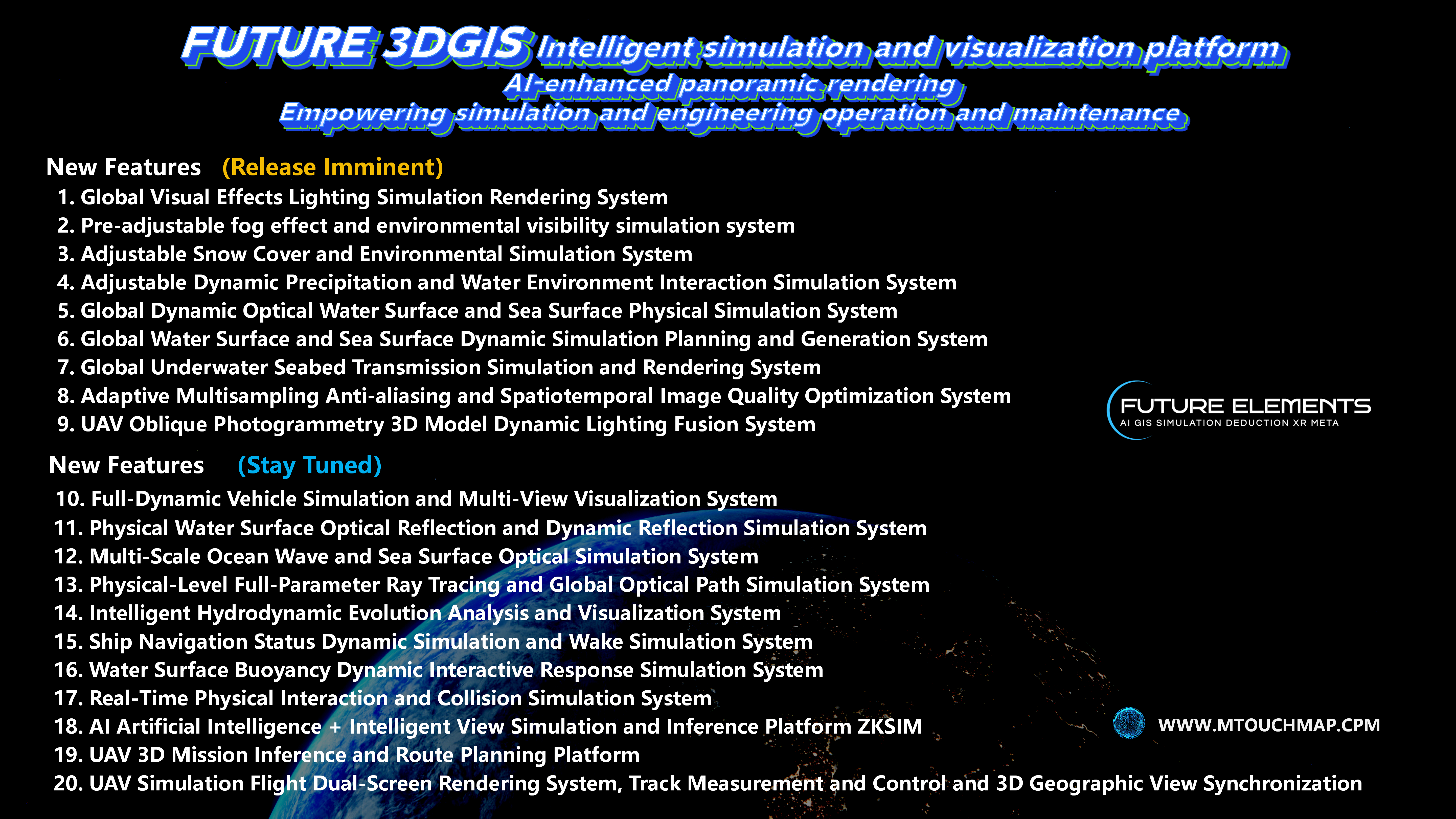
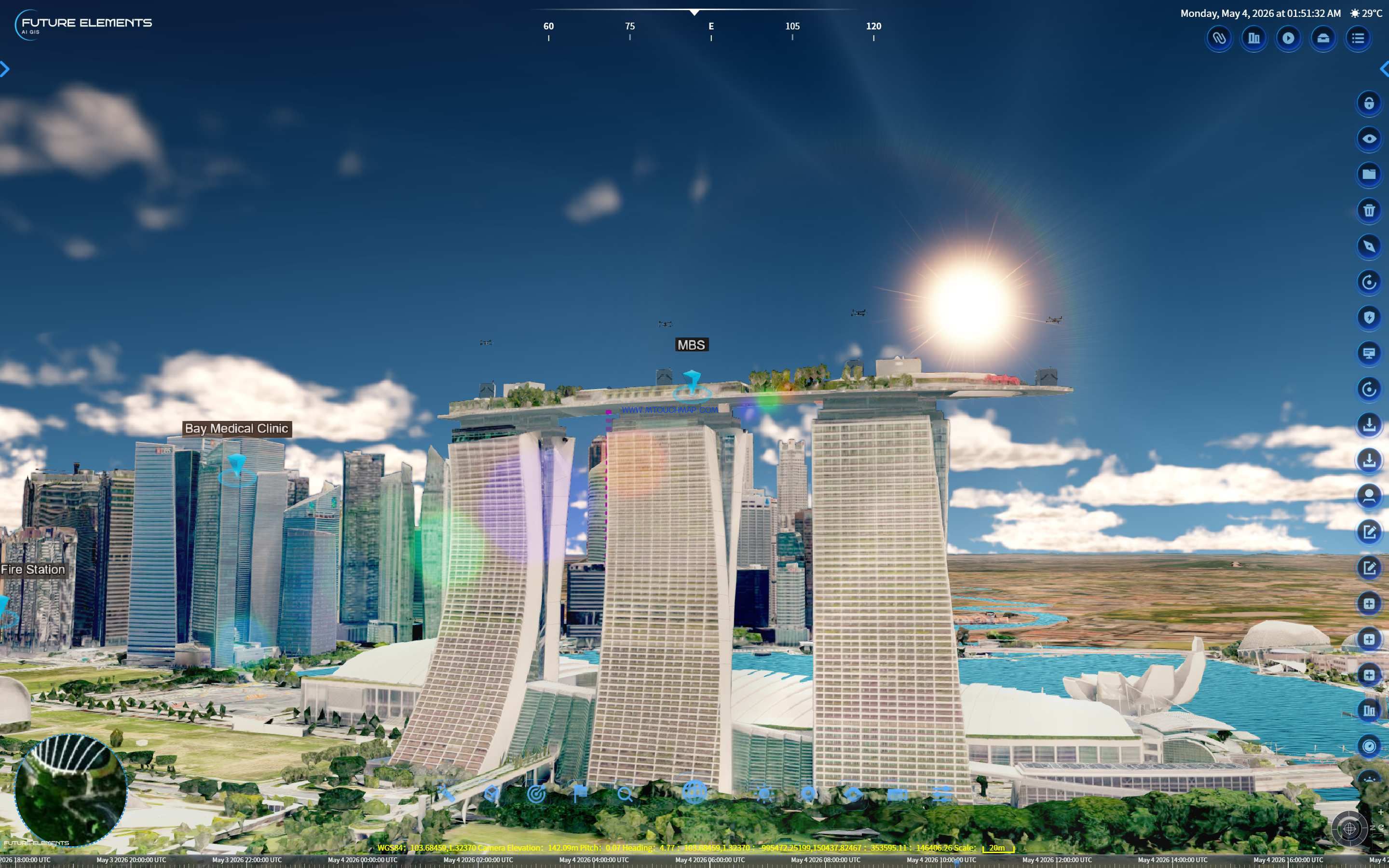
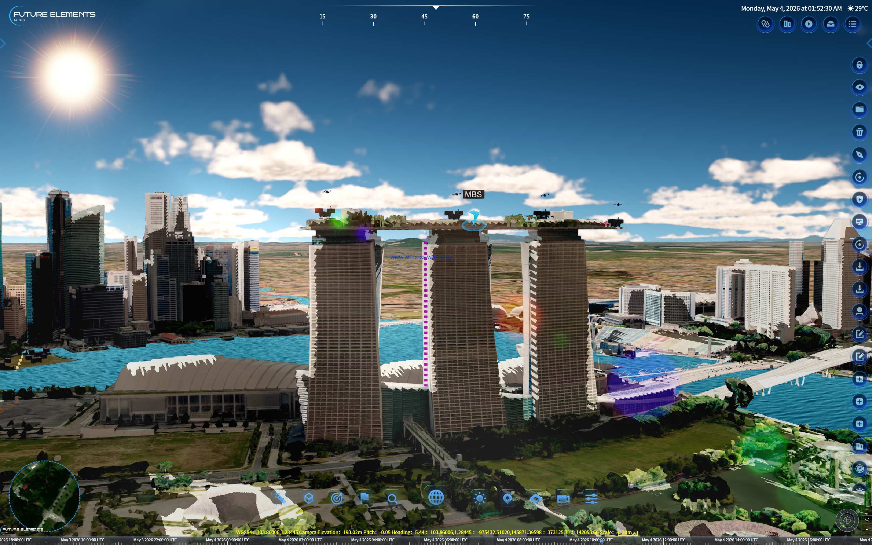
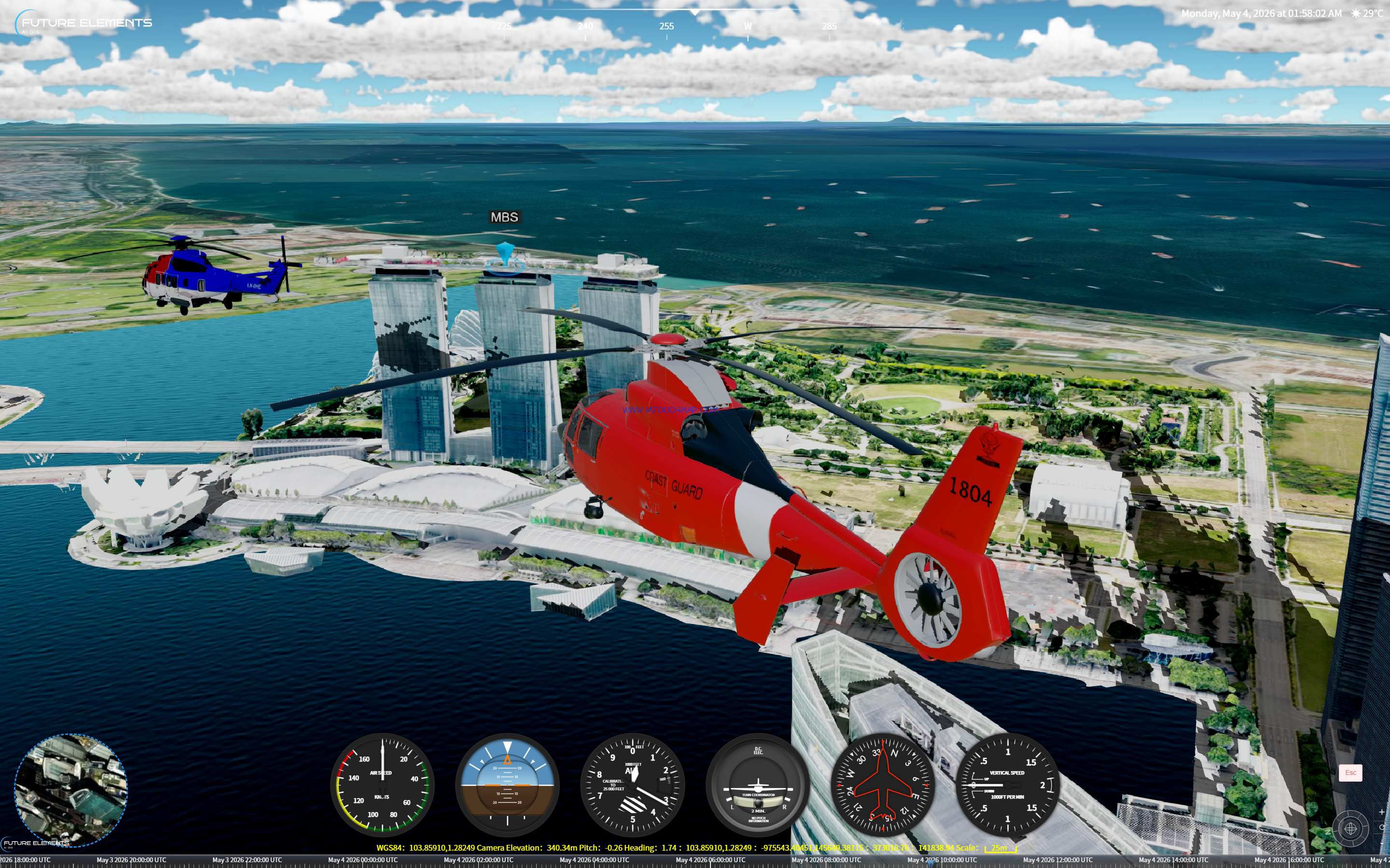
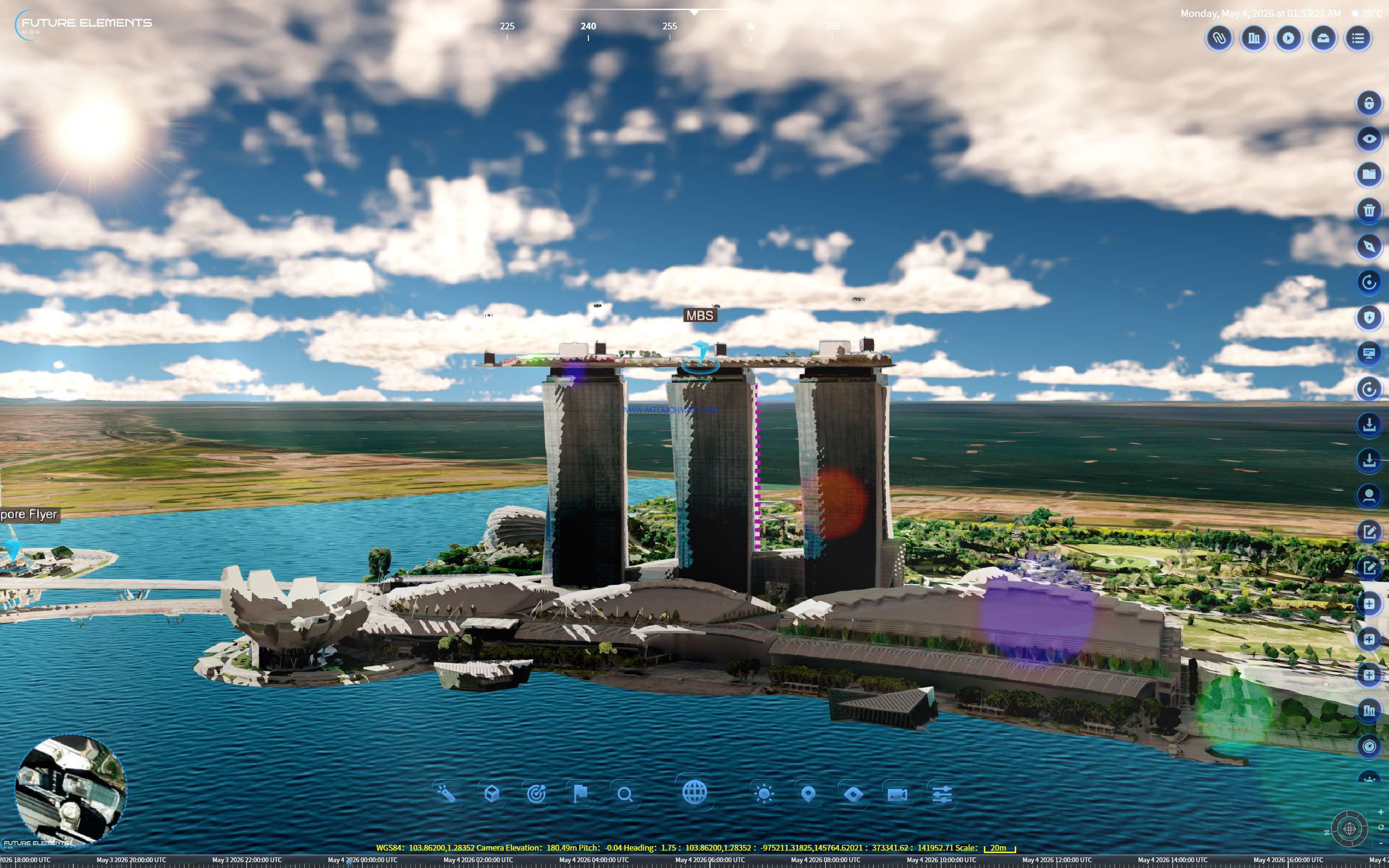
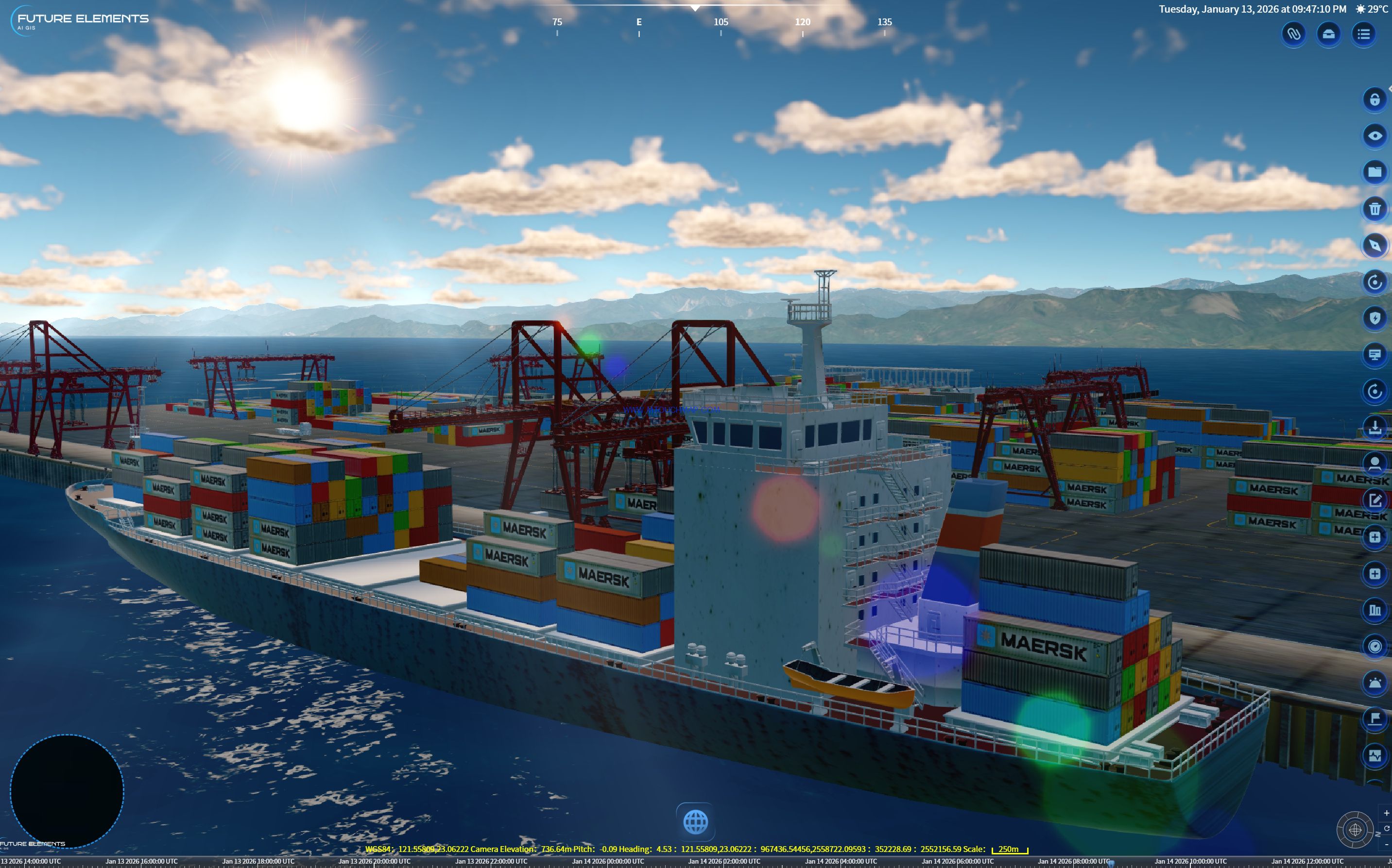
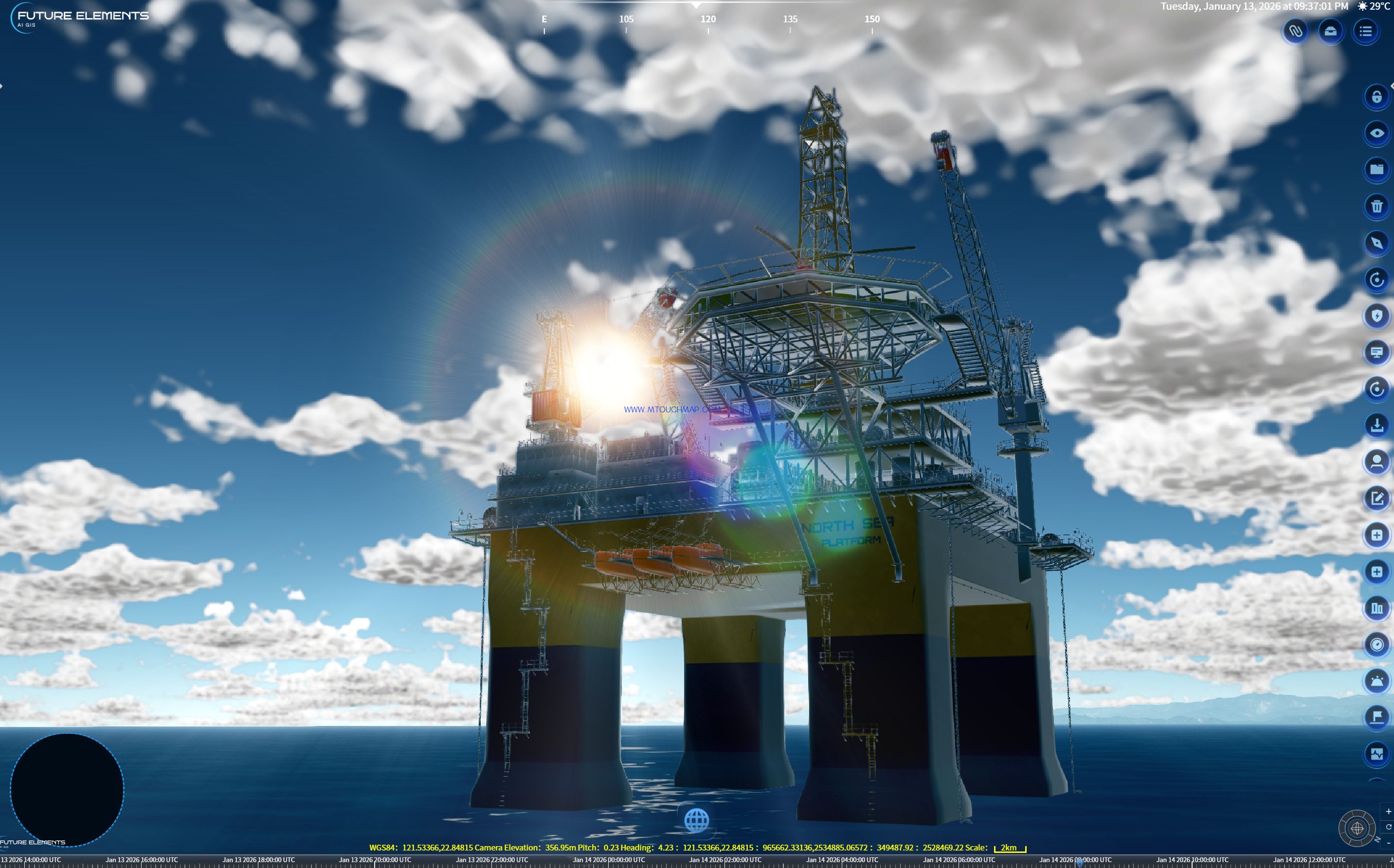
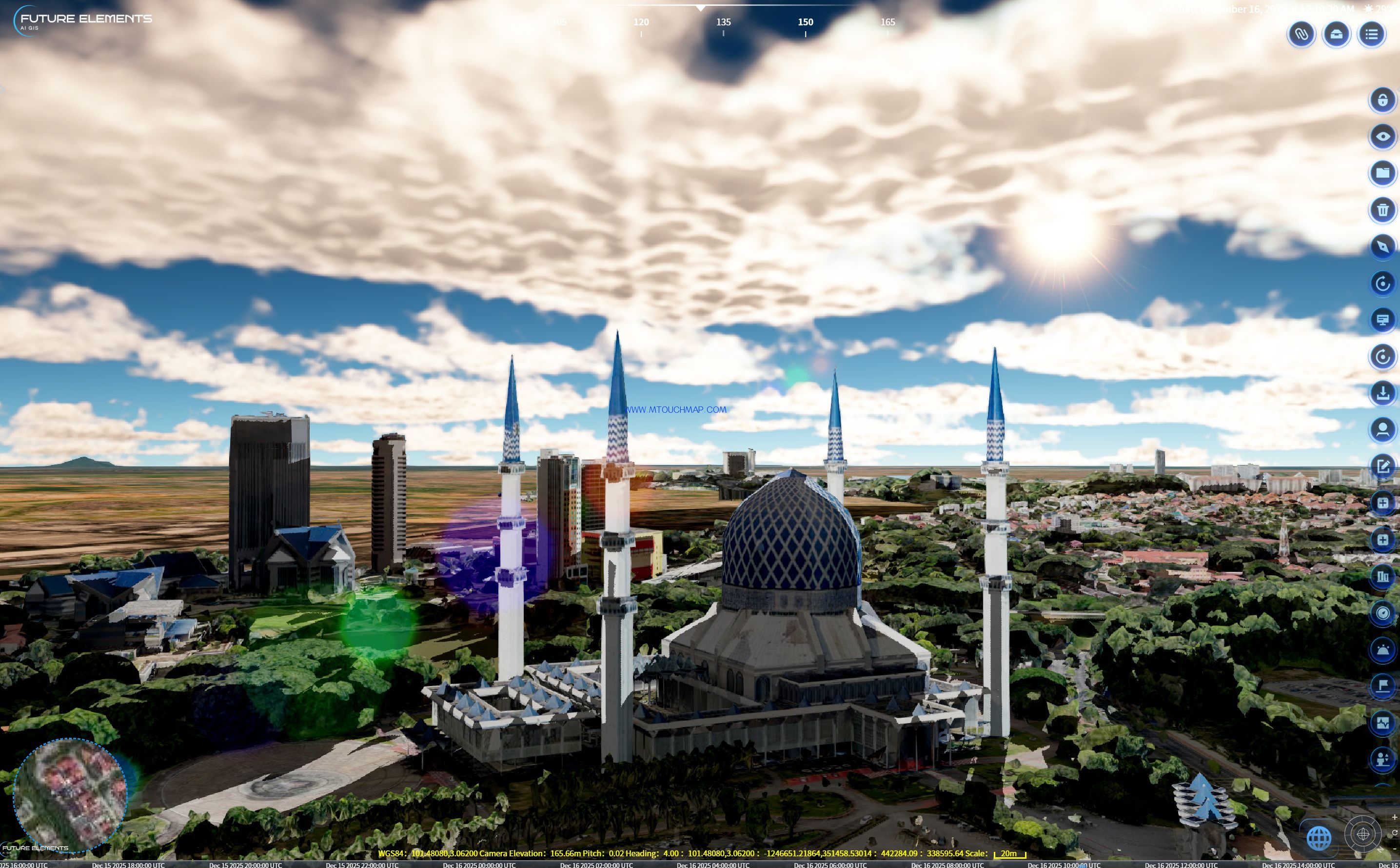
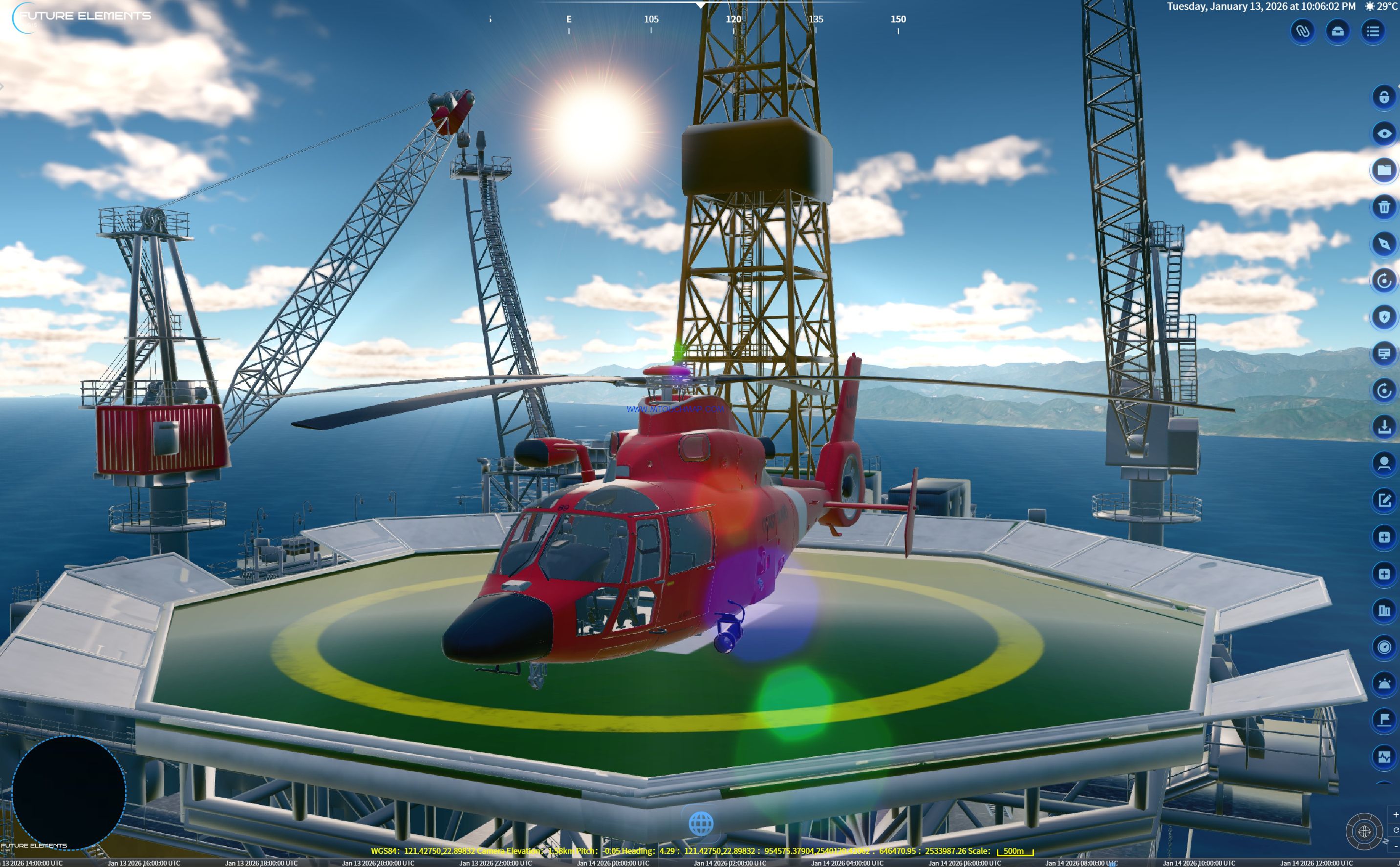
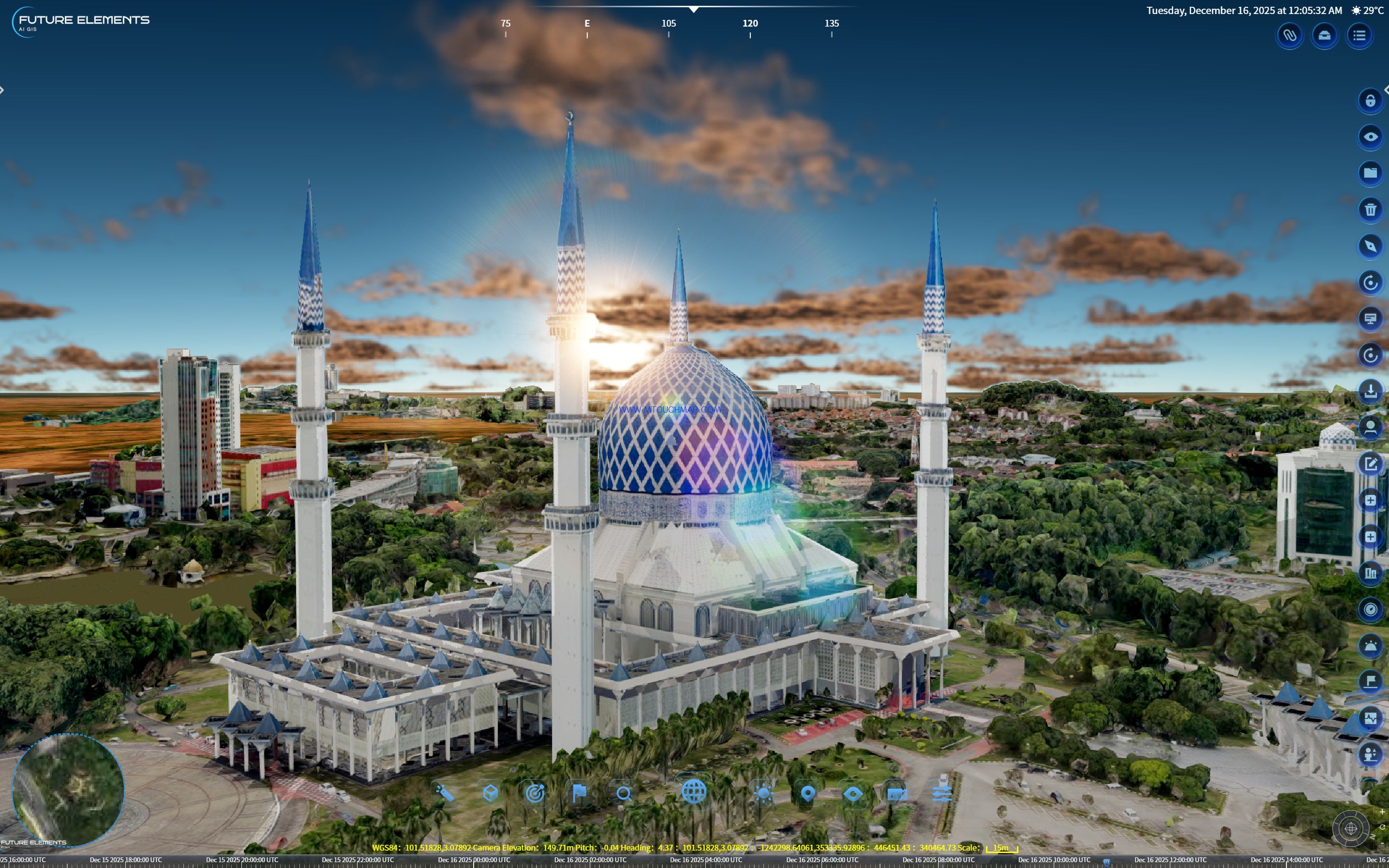
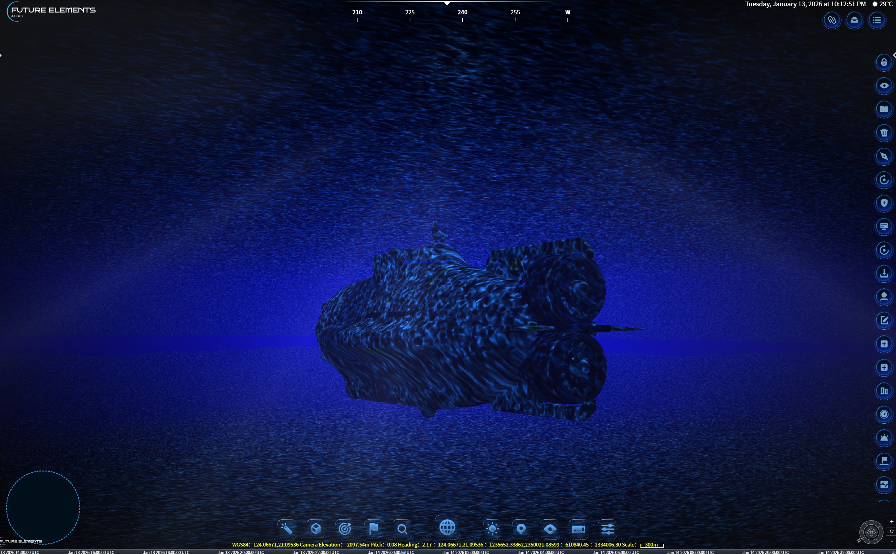
The platform is equipped with a global visual effects rendering system, supporting full parameter control including glow, atmosphere, volumetric clouds, volumetric light, color filters, and lens flare. Based on drone oblique photogrammetry data, it achieves millimeter level reconstruction of buildings and terrain. With 24 hour dynamic lighting and dozens of weather simulations including rain, snow, fog, thunderstorms, and snow cover, the platform creates immersive environments for emergency drills.
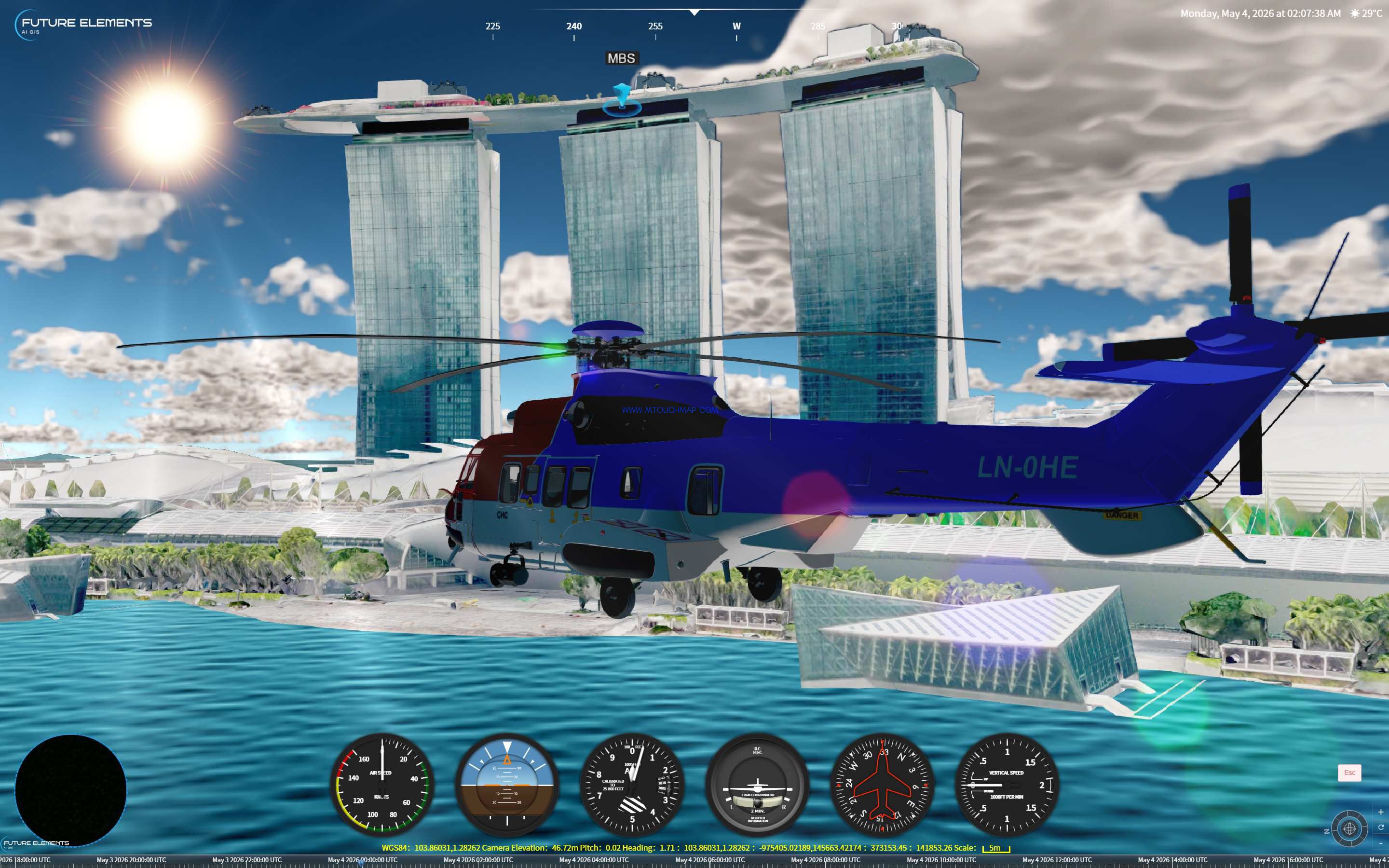
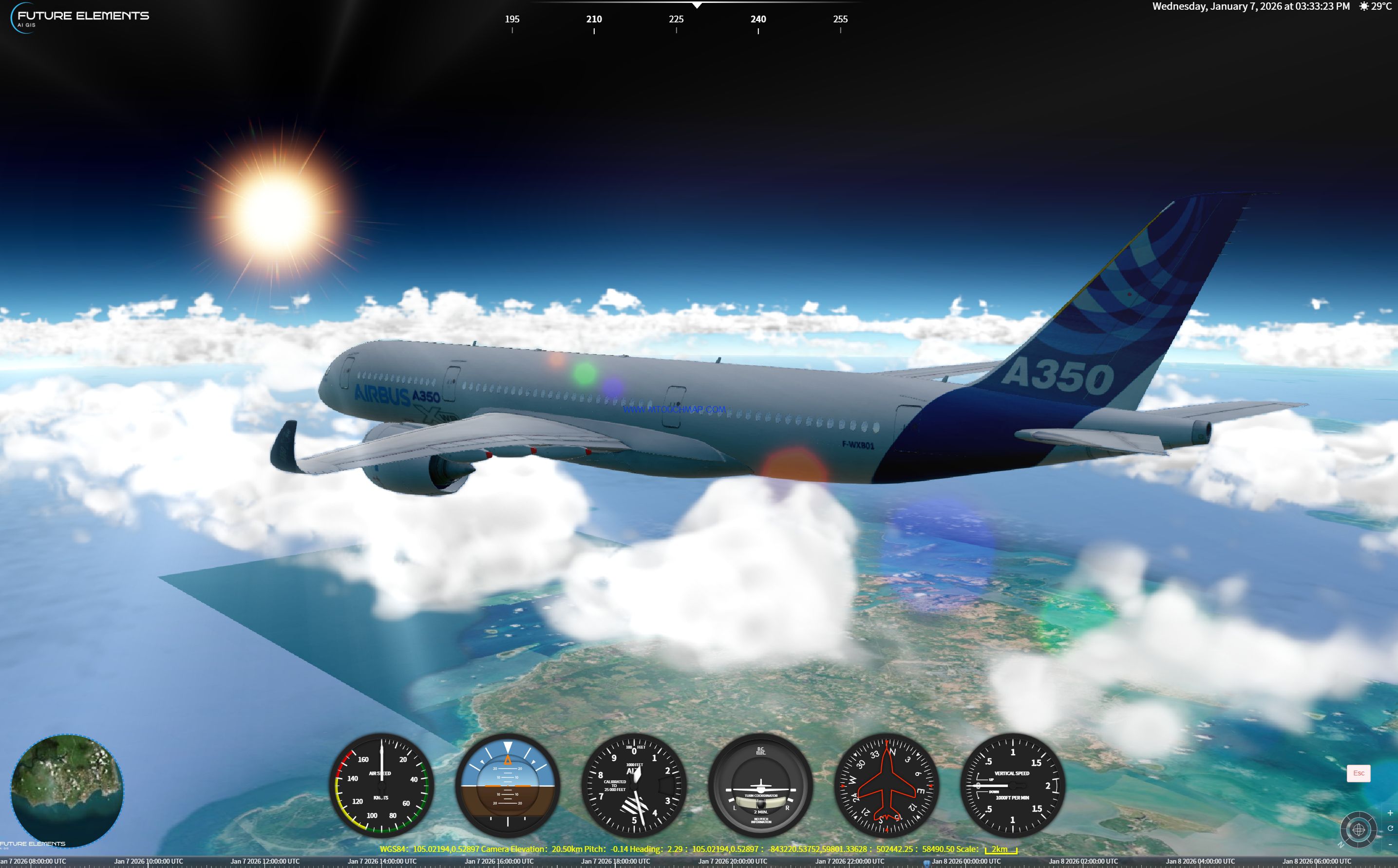
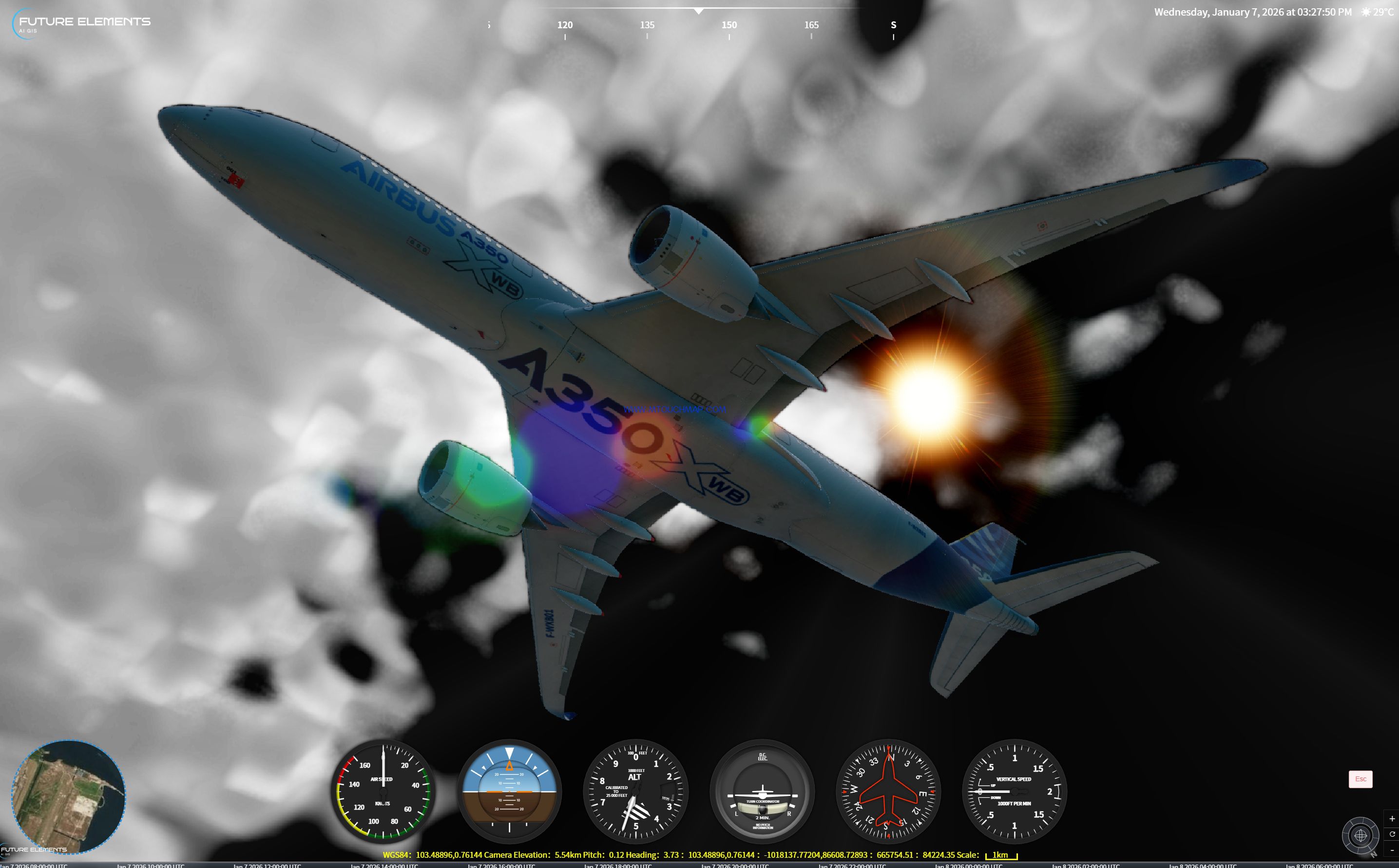
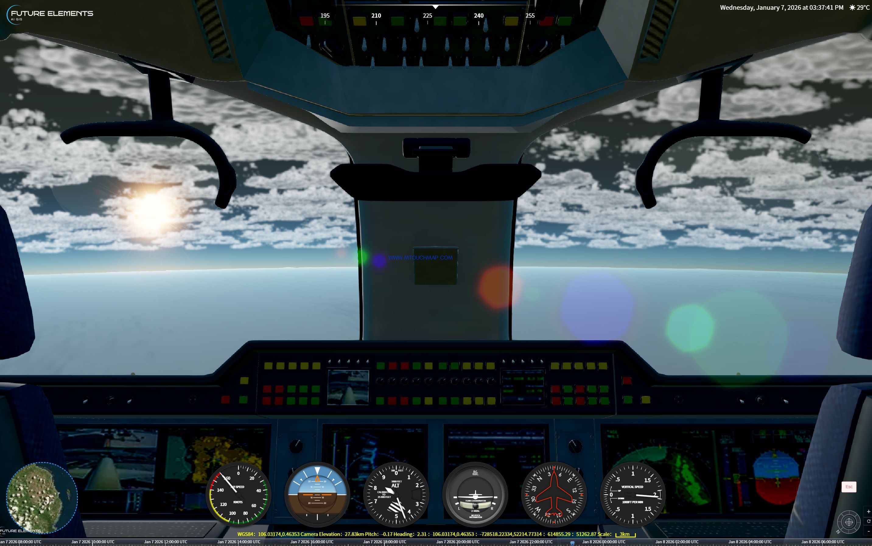
Dozens of measurement and simulation tools are built in, including height difference measurement, line of sight analysis, visibility analysis, dynamic lighting focus, and intelligent light wave plotting, enabling in depth 3D spatial assessment. The platform also features a full dynamic vehicle simulation with multi perspective visualization, supporting keyboard control and free switching between first person, third person, and free perspectives. A high fidelity virtual dashboard is generated, and physics based calculations for gravity and air resistance provide highly immersive vehicle simulation.
For intelligent navigation, the platform supports offline route analysis, generating one main route and two alternate routes. A graphical statistics dashboard displays road class, average speed, and environmental information. Users can draw custom avoidance zones, and the system instantly recalculates new paths. The dynamic video and 3D scene real time fusion system supports camera calibration, one click video alignment, and full parameter adjustment.
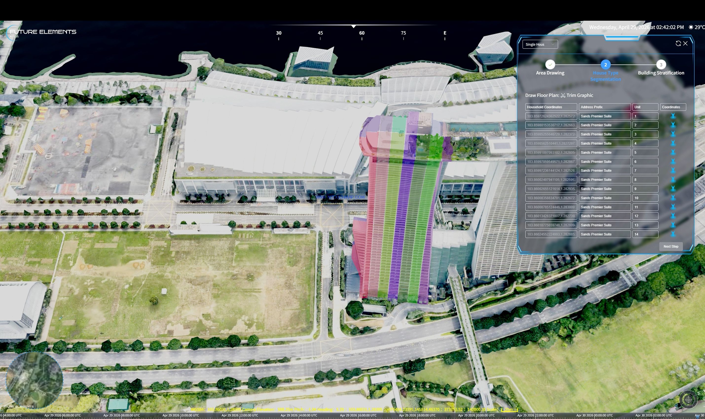
With situational plotting and timeline based exercise capabilities, emergency response procedures can be pre scheduled to create visualized contingency plans. The built in emergency equipment management system covers personnel, equipment, departments, duty scheduling, and other key elements for full digital management.
From AI powered second level alerting, to multi agency coordinated response, to the closed loop patient care concept of boarding means admission, FUTURE 3DGIS delivers full scenario support for emergency command. Simulate first, then act. Be prepared for every emergency.