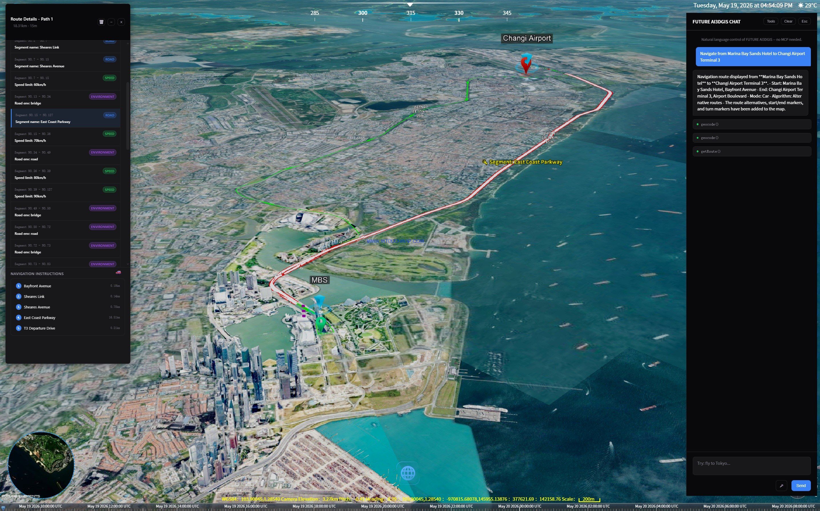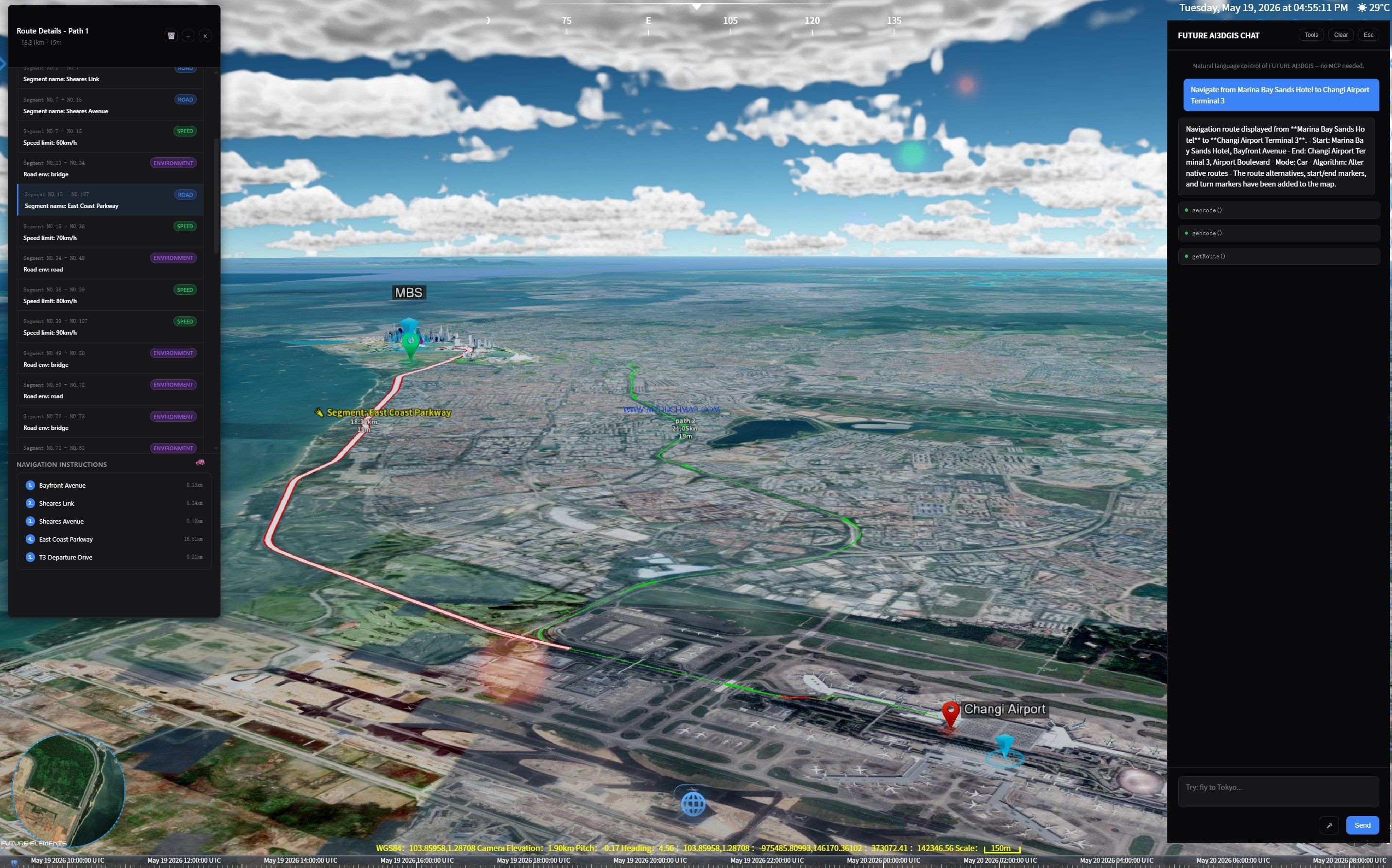
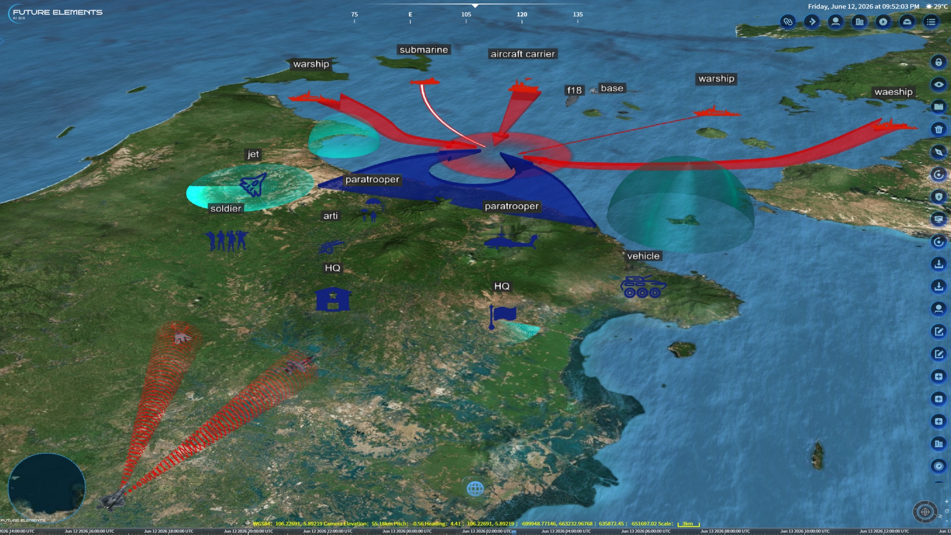
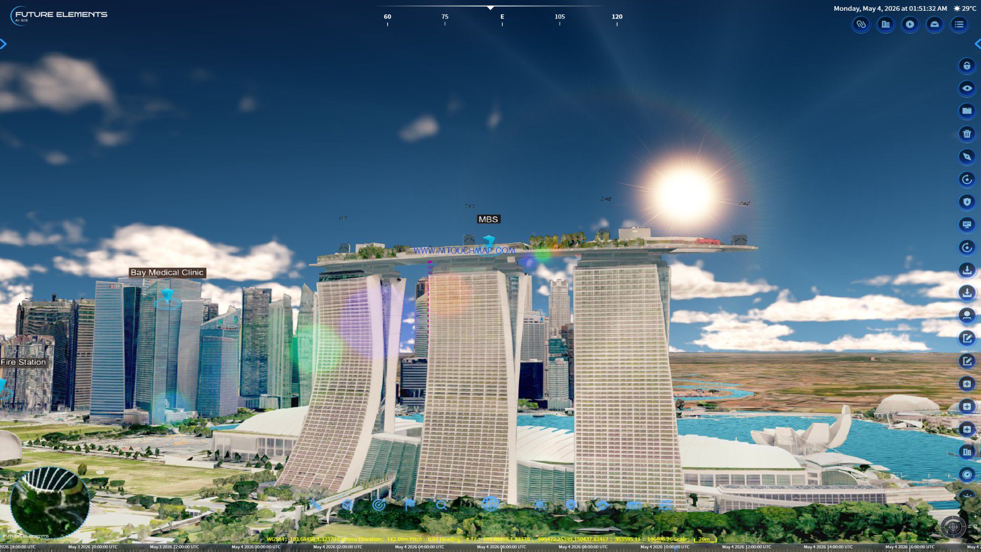
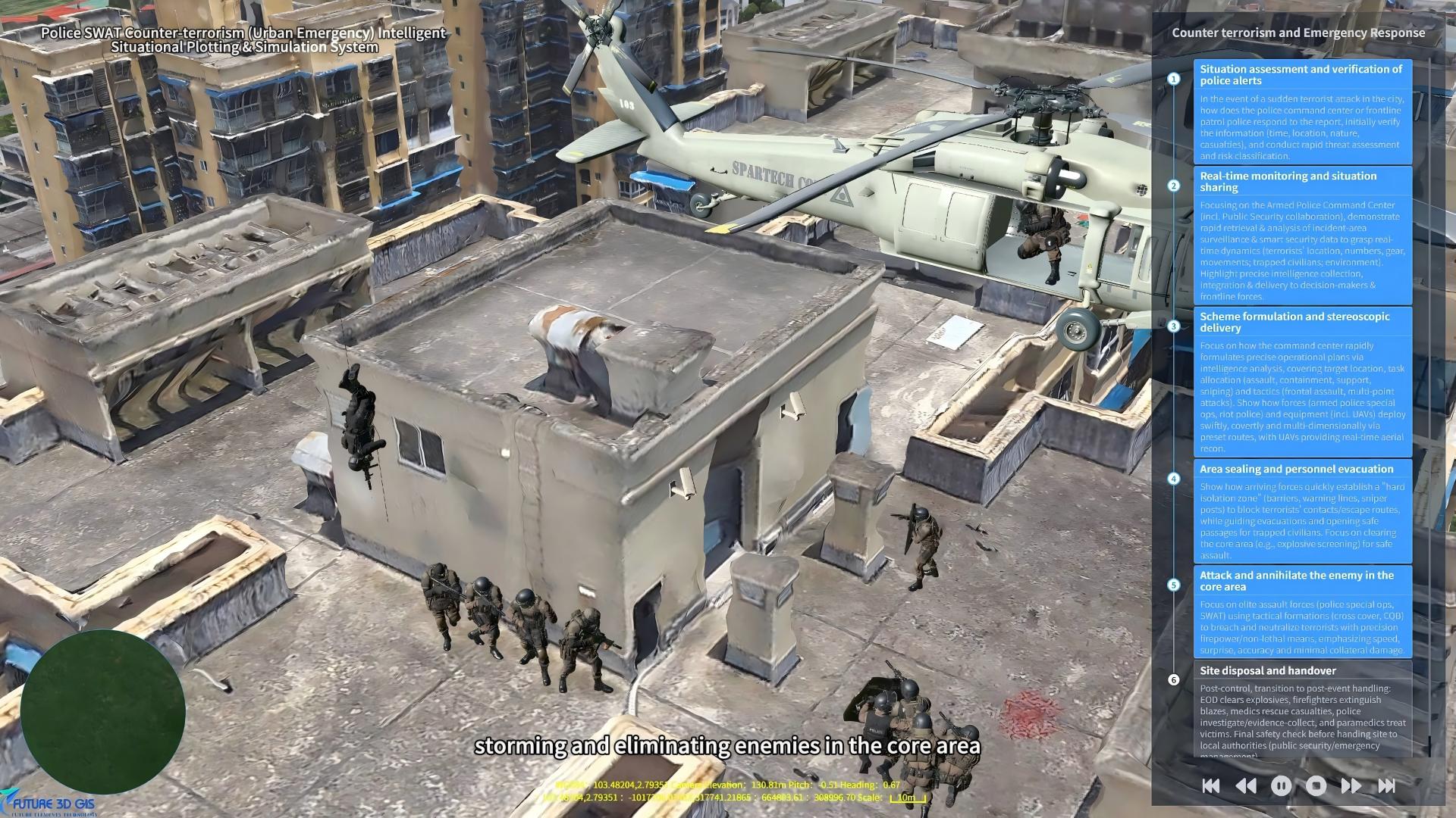
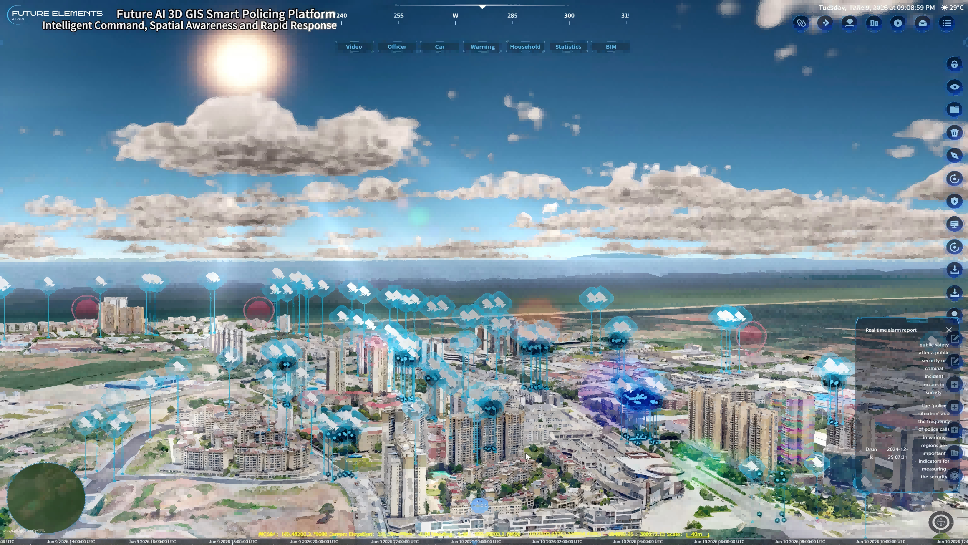

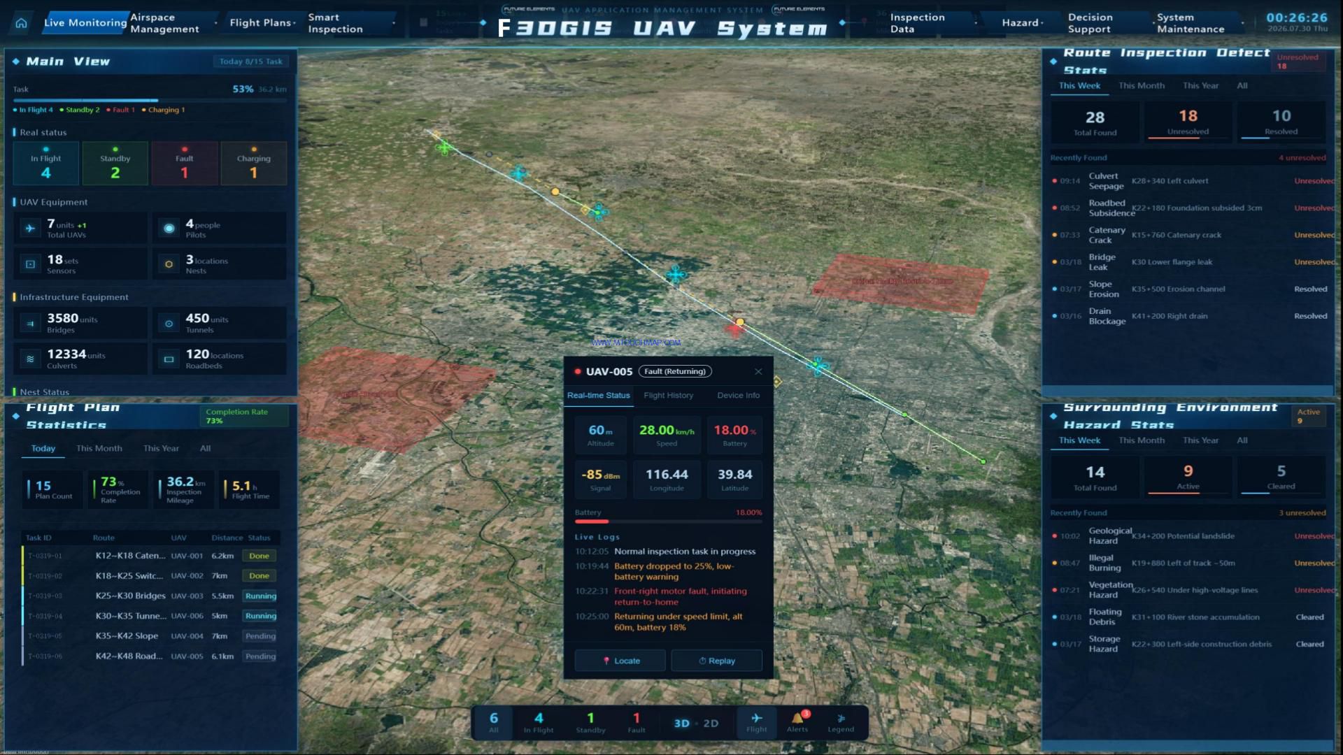
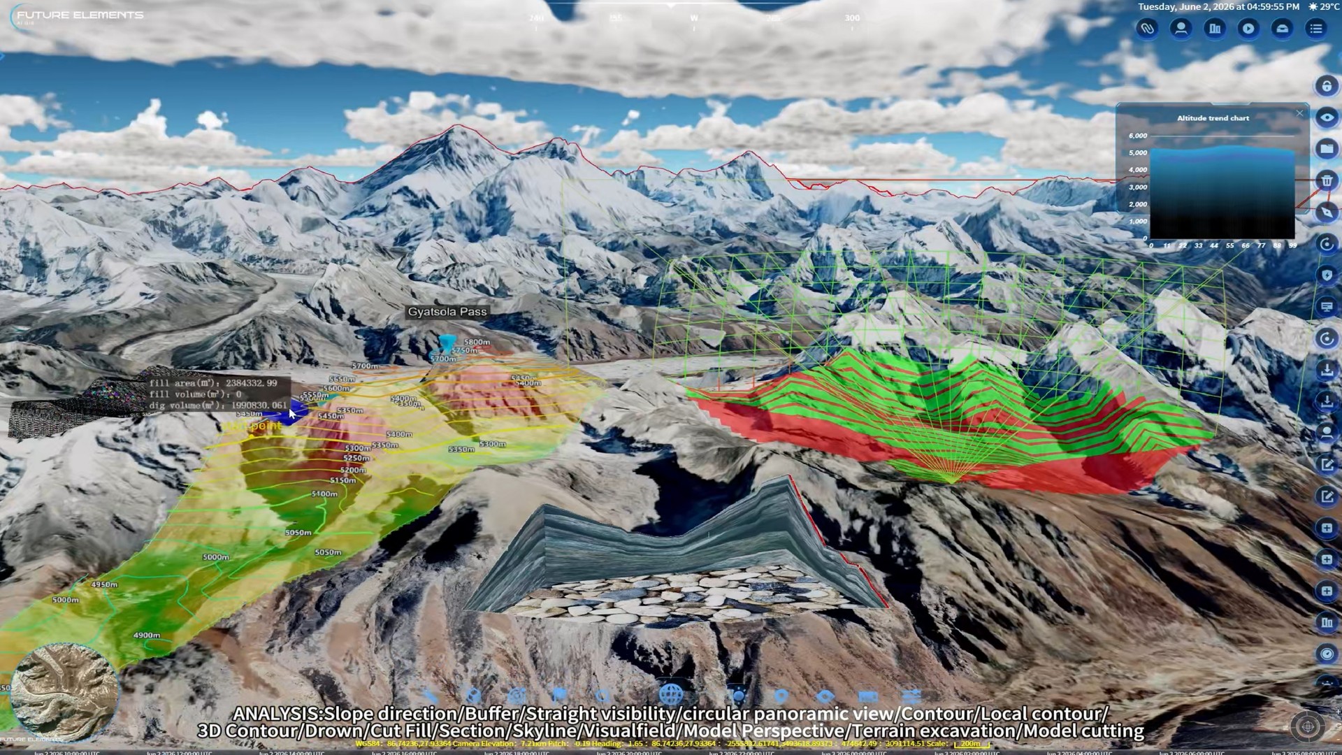
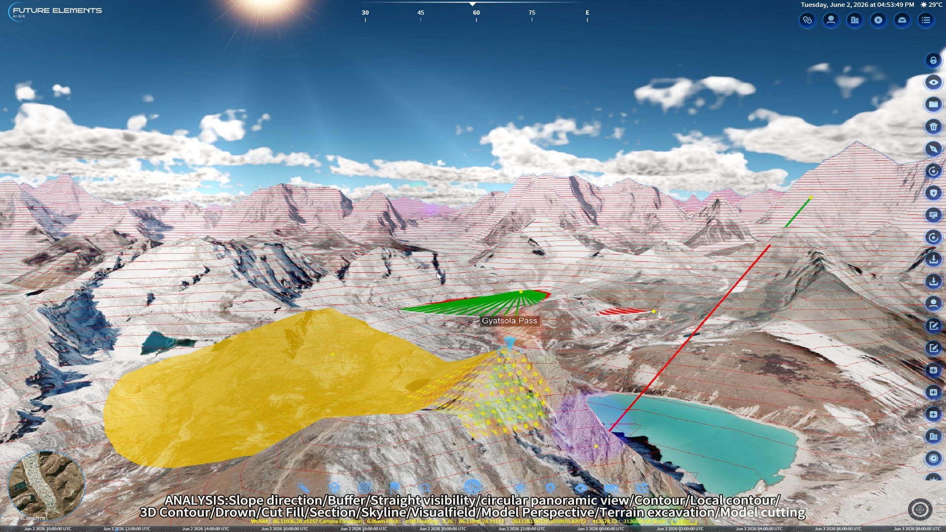
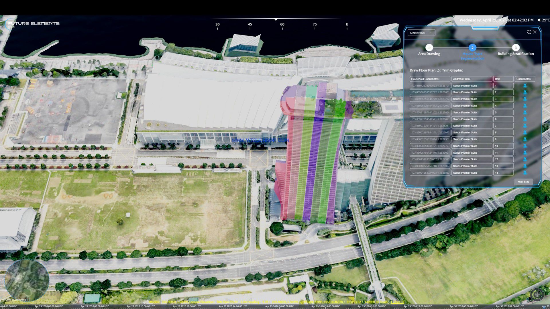
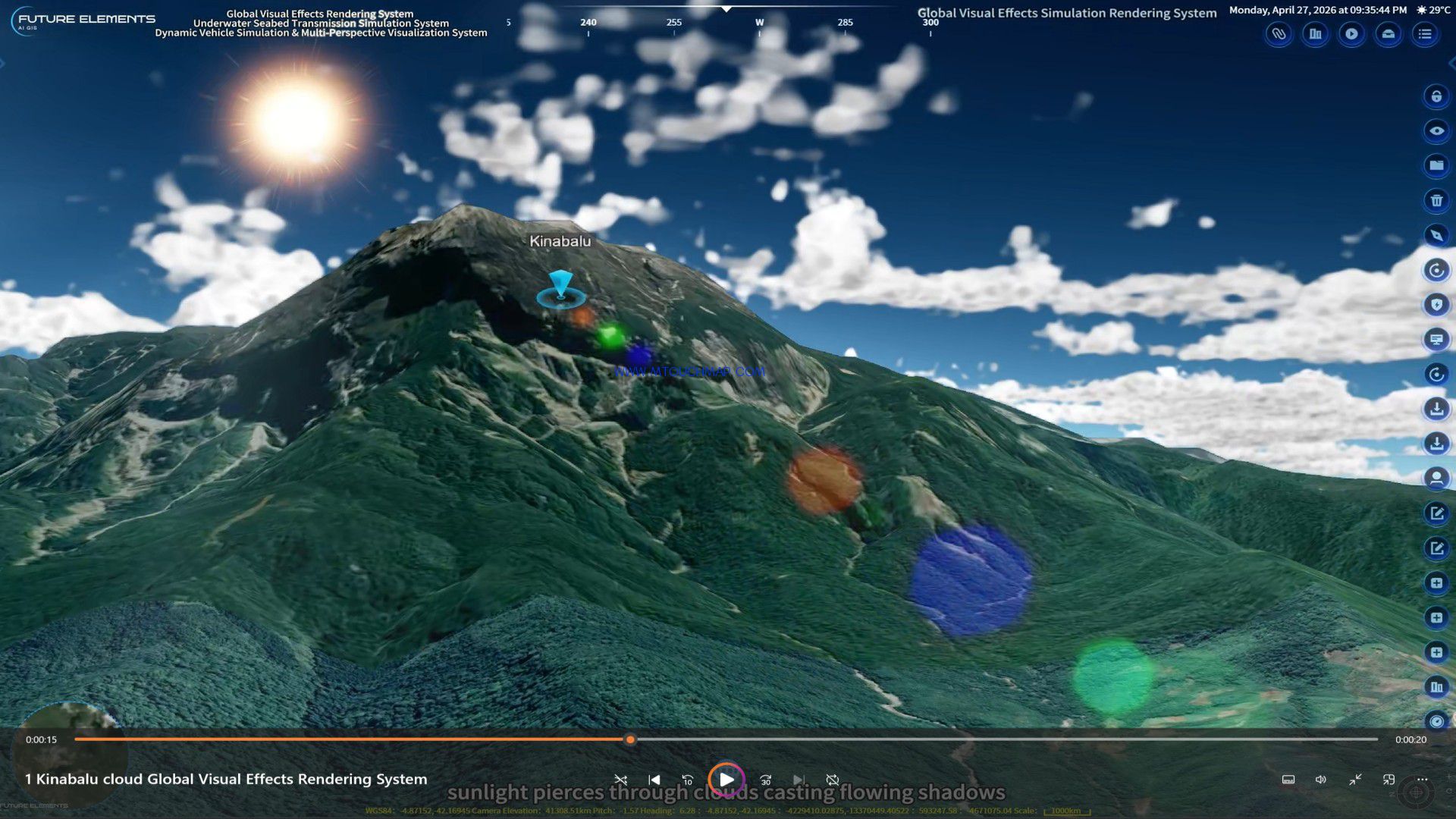


Future AI 3D GIS Navigation Road Attribute Artificial Intelligence Analysis System (Offline Navigation Enhanced Version): Supports offline navigation within a customer-specified data range and automatic matching of mountain elevations.
1. Allows users to input any searchable (data range refers to the project data range) start and end landmark names (such as buildings). The system should support both object, intersection, and POI (Point of Interest) navigation and arbitrary point selection on the map (both modes must be met), and implement the following functions:
2. Highway priority, normal path, continuous path analysis, fast navigation calculation, and bridge and tunnel avoidance;
3. Route planning: Supports nationwide offline route analysis, using advanced route planning algorithms to calculate the route before the starting point, waypoints, and destination, realizing the analysis and planning of the main route and two detour routes, and displaying the calculation results on the sand table, including road names, route lengths, and required time;
4. Presents road class, average speed, and road environment (roads, bridges, tunnels) of the traversed road segments in the form of graphical statistical tables;
5. Uses advanced route planning algorithms to calculate the route before the starting point, waypoints, and destination; also allows users to create any number of drawing methods, such as polygons, to avoid areas, realizing the planning and display of new routes.
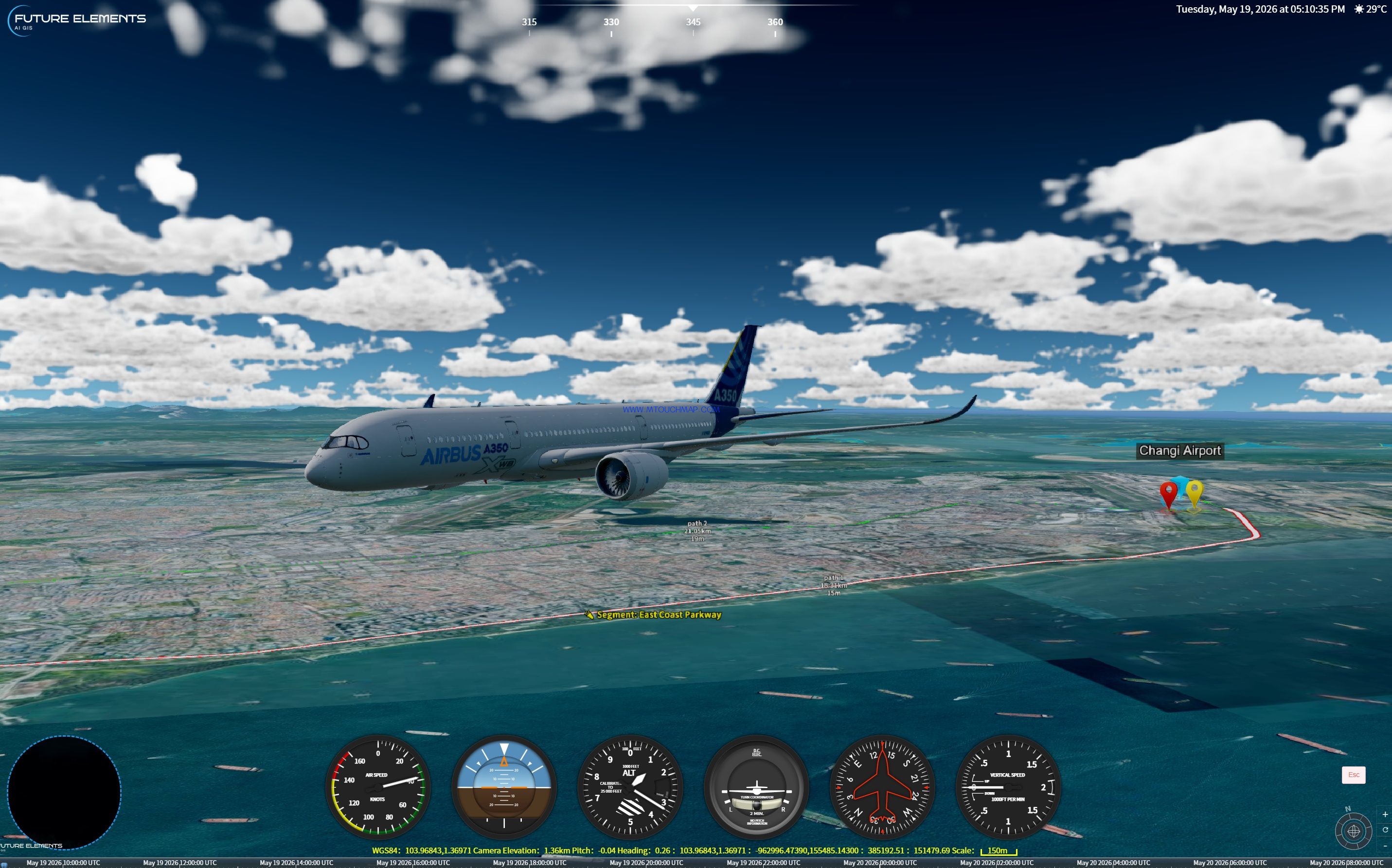
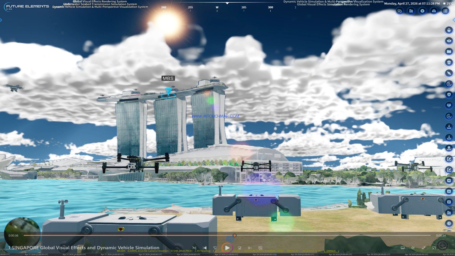
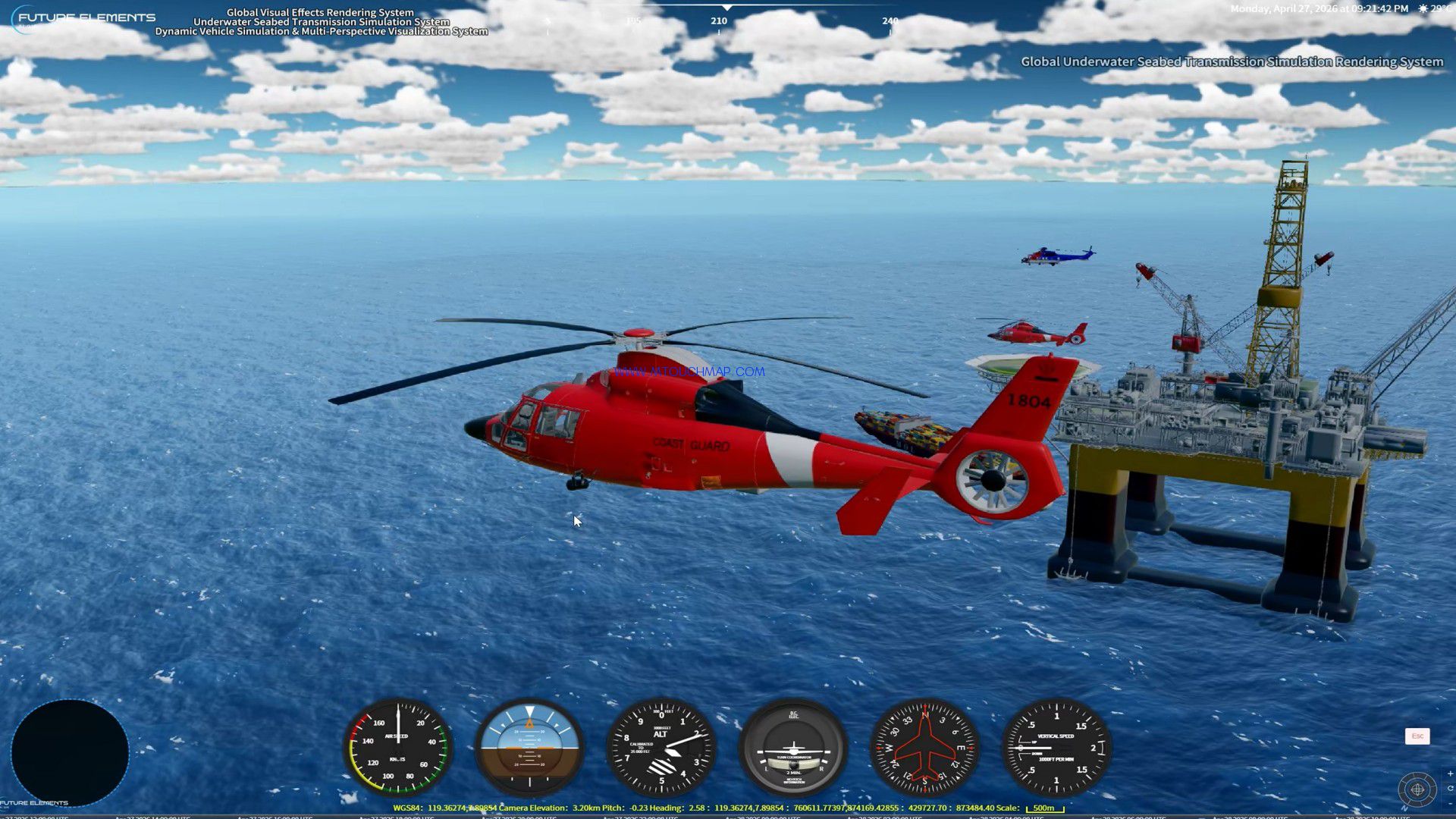
Full-Dynamic Vehicle Simulation and Multi-View Visualization System: The system can render key parameters such as latitude and longitude position, altitude/water surface height, heading angle, pitch angle, roll angle, speed, and attitude of various vehicles in real time, and seamlessly link with the global visual effects lighting simulation rendering system to present realistic all-weather lighting effects; it has the functions of precise positioning, status tracking, and mission situation visualization in a simulated form; users can use standardized keyboard commands (WASDQE, etc.) to accelerate, decelerate, turn, climb/dive, and change heading of the vehicle, and can enter the vehicle's interior and exterior to switch between first-person, third-person, and free-view perspectives; the system synchronously generates a high-fidelity virtual dashboard, which maps key parameters such as speed, heading, vehicle speed, latitude and longitude position, altitude/water surface height, airspeed indicator, attitude indicator, altimeter and pressure gauge, turn coordinator, heading indicator, and elevation/climb speed indicator in real time.